Open data and digital innovation in the service of accessibility for persons with reduced mobility
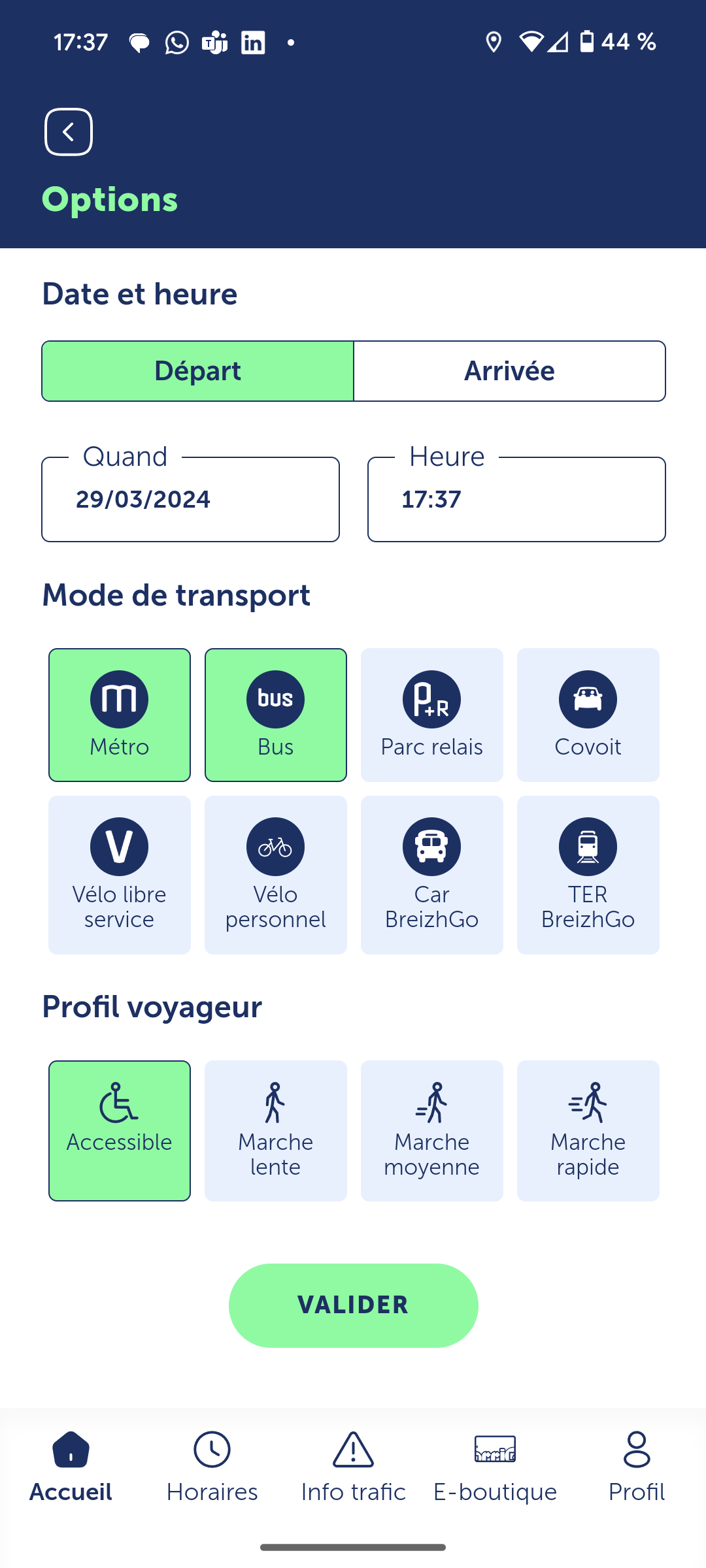
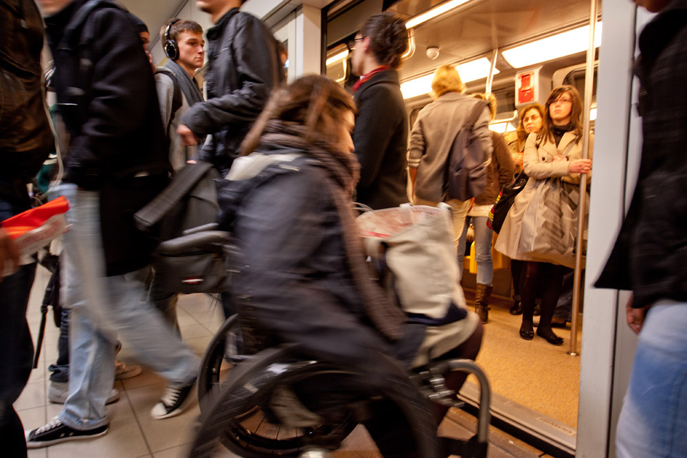
In Rennes Métropole, improving all forms of mobility is a priority. The transport authority is notably working to develop tools for the general public that encourage “walkability,” or pedestrian accessibility, within the city and its networks. The goal is to improve local mobility, especially for persons with reduced mobility, including people with disabilities, the elderly and young parents with strollers.
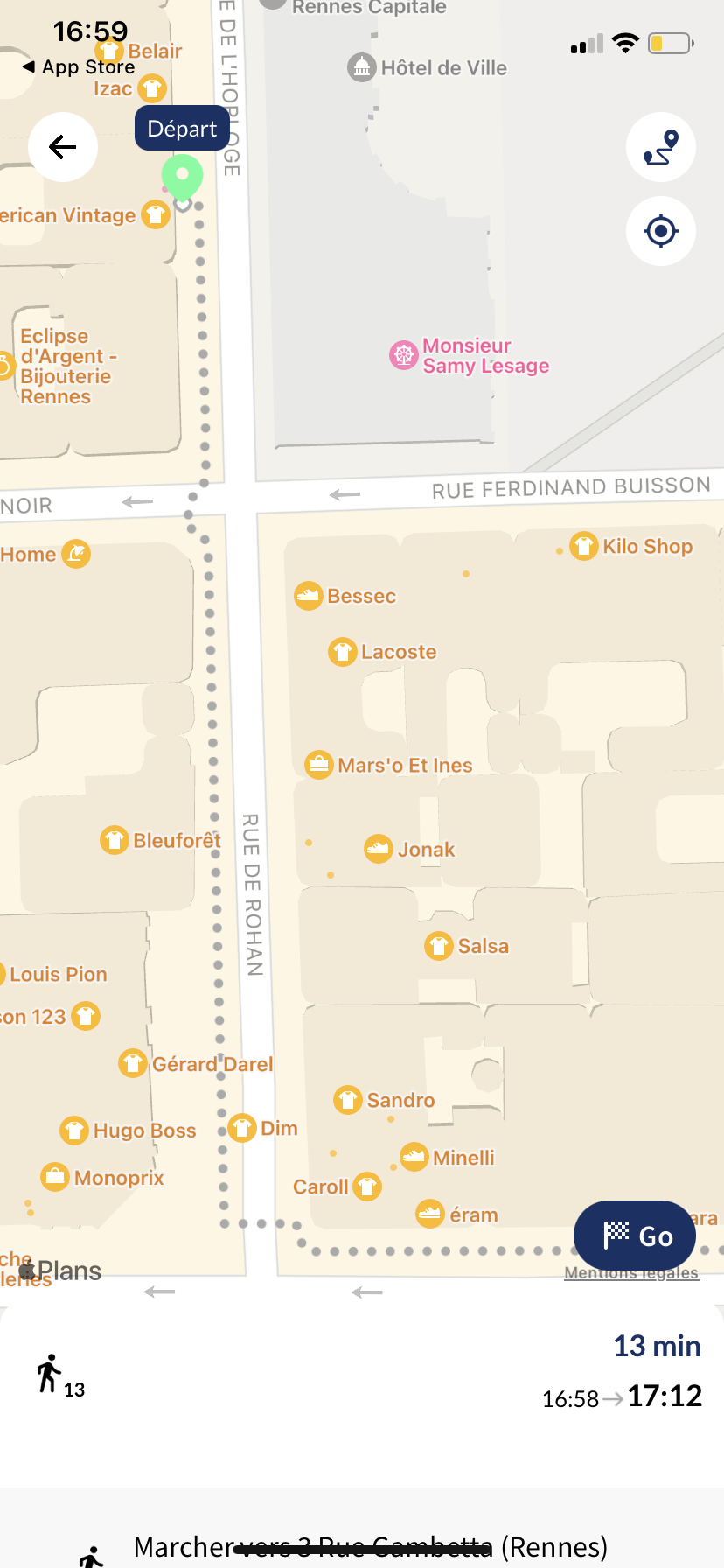
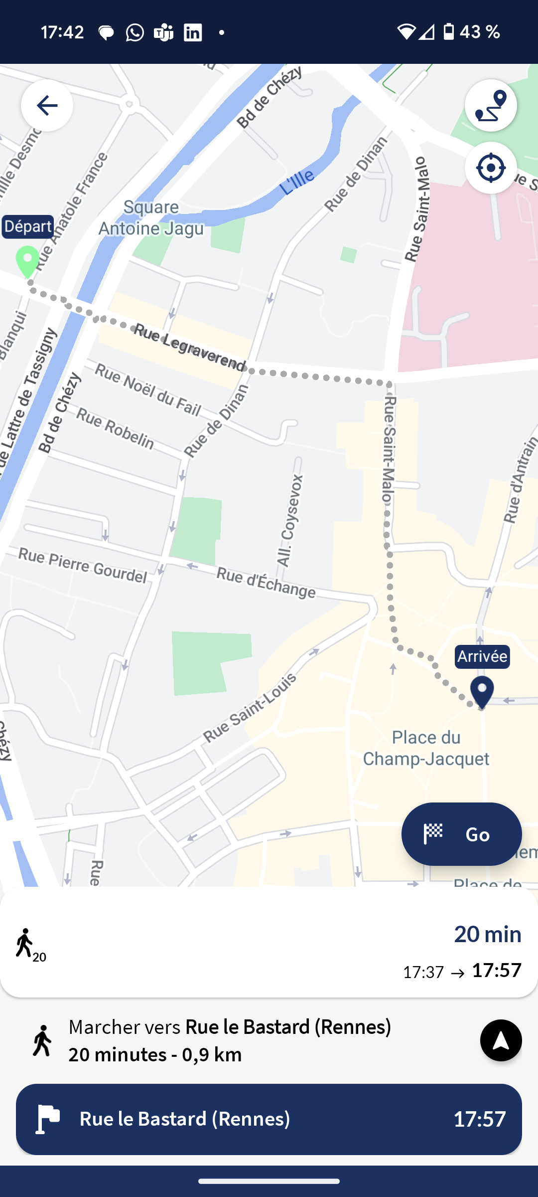
The development of this tool was facilitated by Rennes Métropole’s open data policy, which provides access to all its road data (including about road types, dependencies and construction). Keolis teamed up with software developer Someware, a specialist in designing mapping tools, to adapt its Handimap trip planner to the specific needs of the Rennes area.


